
Remote Immersive Virtual Reality
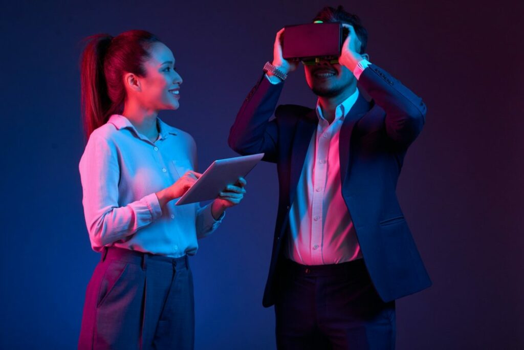
Virtual reality (VR) creates an environment totally different from the real world. The recent development in immersive technologies has grasped the attention of scholars and researchers in terms of interactions and visualisations.
Immerse Virtual Reality is the concept of being a physical presence in the virtual world. This can be done by the user surrounded by sounds, images, and other stimuli that helps to prevent a virtual world as real.
A deeper look into the not the world of immersive VR
The world of remotely sensed and terrestrial geospatial data sets is maturing. Immersive virtual reality (iVR) presently allows for the integration, visualisation, analysis, and exploration of these 3D geospatial data sets. When combining satellite imagery with terrain elevation data you are able to create a basic reconstruction of a physical site.
This is useful for flight simulation for commercial and social purposes. Using an unmanned aerial vehicle we are able to use terrestrial LiDAR data to provide a geo-referenced point cloud model of the system of the object under consideration. LiDAR can perform an intensive sampling of the earth surface directly, yield the 3D point cloud, and thus can help create an immersive virtual reality using a unity interface software product.
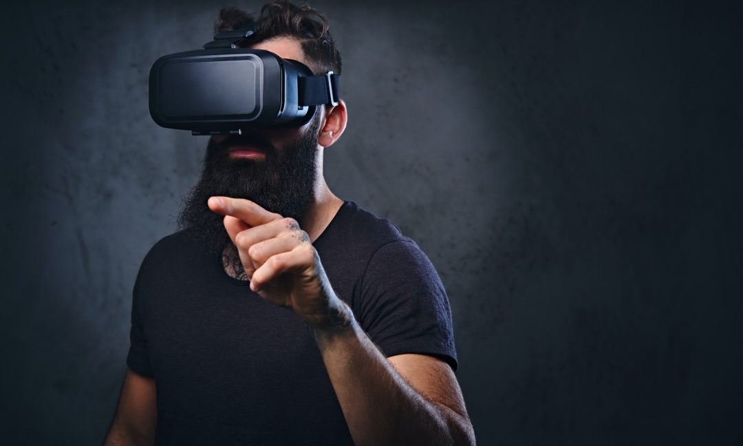
LiDAR point cloud is a collection of points useful for storing large amounts of data. Each point in the point cloud can hold information, called components, which contains a value that describes the point. Adding the use of Structure-from-Motion (SfM) to construct a photorealistic point cloud makes the full picture very powerful and offers the viewer a 3D construct to operate within.
Where this will lead to is a topic for the ages. Just how far can humans explore and where can we go. Are there perhaps metaverse possibilities that can add a further layer to the dimensionality of the technology.
We are developing a prototype which allows users to plan and execute simulated flights. Aviation, in our view, is about to be disrupted and this functionality has endless implementation opportunity.
A changing landscape
In previous times it was very difficult to use virtual reality with goggles, while with new devices and immerse VR, its usability becomes easier and more significant. However, with 3D systems, LiDAR point clouds are available vigorously. LiDAR is abbreviation of Light Detection and Ranging.
LiDAR collects information and measurements about geology by sending laser rays to surface of earth. LiDAR creates data on the basis of received information once these rays come back to the sensors. LiDAR lasers are most commonly used instrument to collect data about geographic point cloud. Most of the LiDAR point cloud-based applications lag behind in development and user interaction. A unity package software can be used to convert these LiDAR point clouds into remote immersive virtual reality. This could be significant for evaluation and developing various applications.
But the question is that why did we move from prior techniques i.e. point cloud techniques to immerse VR technology? According to the research it is deduced that VR is more helpful and beneficial than any other technique. It is used to measure the geometry of the structure and geological unit, specifically in the dangerous area i.e. volcano, forests, etc.
A novel technique called end to end pipeline uses a virtual reality labeling tool. This tool facilitates 3-dimension Lidar scans’ annotation by geometric primitives fitting to unprocessed data. Thus, the graph-based segmentation model is trained to use for each tree’s relevant attributes and detection of its instants such as focus point and radius.
The exact mapping of Lidar odometry and semantic segmentation is difficult in the environment where trees and ground are bounded by vines, thorns, and leaves i.e. three Lidar estimation states. Due to such an environment, extreme motion is experienced by the sensor. For the purpose of computing a trellis graph, a masked point cloud is used that recognises and extracts an individual’s relevant features to use in the SLAM model. The result showed that the semantic shape model is more beneficial in achieving high scalability and accuracy in estimating the automatic 3 diameter generation. While the old-style image base and Lidar techniques are failed in the environment of forest on both hand-carry and UAN systems.
Also, the most common but tedious way to work with data form in remote sciences and sensing is point cloud data. Technologies of remote sensing create a dataset of cloud points daily, with a huge amount of points. Despite the presence of many algorithms of automatic data cleaning, safety-critical applications like waterway surveys, still, need a human to process and verify the data.
The previous research shows that bimanual interactions, the perspective of the head track, and stereoscopic viewing can head towards the speedy completion of 3-dimensional tasks and lower error rates when compared to old-style mono-scopic (mouse & keyboard desktop) system. A recent survey related to high quality and low cast VR system describes the method which used to integrate these technologies into the point cloud data processing pipeline.
The consumer-grade VR interfaces’ potential, more specifically the bimanual 6DOF and head-mounted display stereo combination is existing. This method improves the efficiency and speed of point cloud data processing. An experiment has been performed, which supports both the subjective and empirical with evidence.
A human study is conducted in this paper which equates the performance of a 3-dimensional point cloud between VR interface types and traditional interface. Result states that the immersive interfaces mostly led to faster completion of the task for complex datasets. While desktop interface slows down the process. Also, a strong subjective preference was reported for the immersive interface.
An important use of iVR is in the development of CPS (Cyber-Physical System), this initiates the step from hardware (physical) perception but then constantly starts moving towards software as a final element. Yet, this technique is not fit for a word with more software intense i.e. even more iterative, mostly online and connected.
Application of incremental, iterative, and agile developing techniques are prevented by some other constraints as they are in many other software field norms. then both the software and hardware component are ready, validation of time-consuming systems can start. This states that most of the time quality and delivery of software is the final bottleneck in the integration and development of the Cyber-Physical System. Also, one of the organisational concerns is the geotechnical distribution of the CPS development team, which might result in process delays, errors, and even mistakes.
A research proposes a VR based Integrated Software Development Environment (VISDE). This can be used for the development of more software-intensive and next-generation CPS more efficiently.
A workflow technique that gets and processes the images through google earth imagery and used them to generate 3-dimensional VFE (Virtual Field Environment) by using software that processes SfM algorithms. Multi Outcrop Sharing and interpretation System Vizlab (MOSIS V2) software can be used to view these models. This can transport to the environment of high resolution from academics of earth sciences by using IVR (immersive Virtual Reality).
The software uses geological tools set for teaching and interpretation.
Besides this unity 3D software product is used to convert LiDAR point clouds into Remote Immersive Virtual Reality. The reason is that unity has built many assets in Unity assets store as well as it is very convenient to create Assets or scenes in Unity 3D. LiDAR data is needed to load in Unity 3D and Point Cloud Viewer & Tools extension is used. This has the capability of reading millions of points. It enables the user to select a specific shade for every point, lightning effect improvement, allow colors, etc. This enables the user to make surface features like roughness, edges, highlight geographical formations, and materials easy.
In conclusion, immersive VR is the solution to all problems we are facing in the physical world and its betterment. VR removes black lade from world improvement and we can perform experiments virtually to see the result before sending a human into an actual real environment. The aim of Immerse VR is to give the opportunity of crossing into a 3-dimension geographical environment.
Where the possibility of detailed observation and object measurement of earth sciences can take place. Furthermore, VR also allows for examining logistically dangerous sites. Thus, the significance of VR indicates that it can be used in 3d modelling for various applications including fitness, construction, mining and engineering etc. Similar to the geological evaluation the above-mentioned applications use the defined tools and methods to combat with virtual reality.